- Blog
- Day: 4
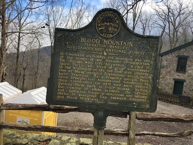
Day 4, Low Gap
Latitude: 34.776503 Longitude: -83.825877
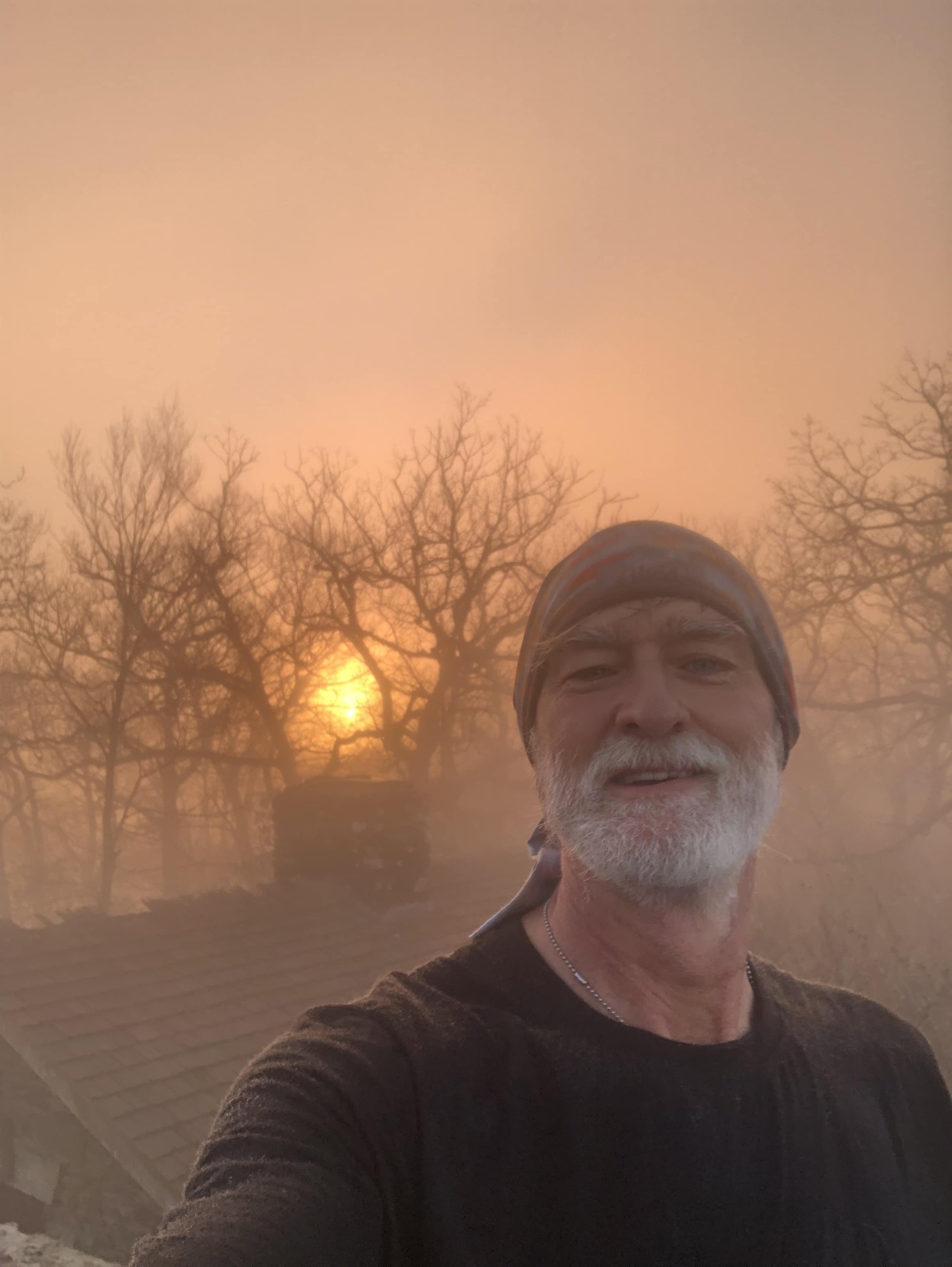
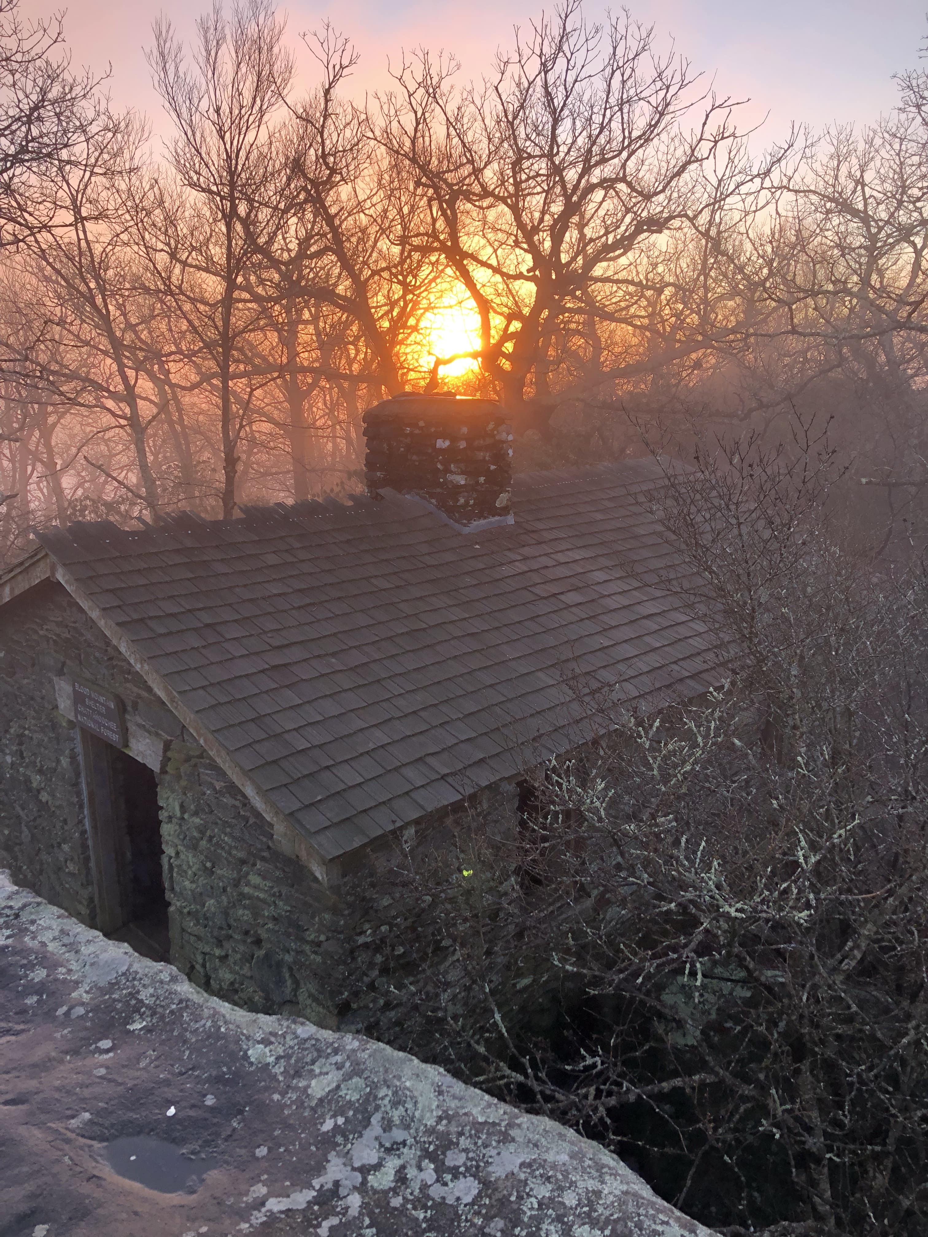
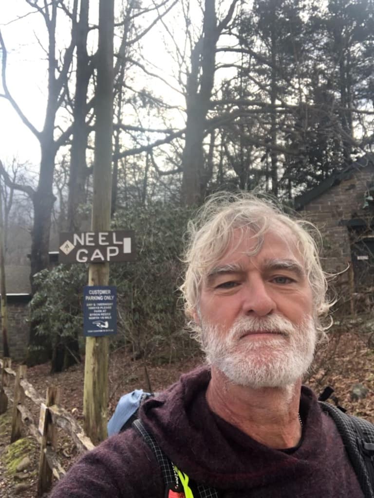
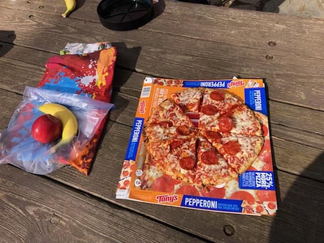
Left camp at 0600 to get to the top of Blood Mountain for sunrise. Today was the tallest peak at 4459ft. I arrived at the top to clouds but as the sun came up the clouds began to fade and gave a great view over the stone shelter. Today was the second day I hiked with a young man trail name Tiki from PA- we have been hiking at the same pace and will likely hike together going forward. We passed thru Neels Gap for my first resupply and lunch-pizza yea!! The day ended at Low Gap Shelter AT 42.8 miles for 15 miles.